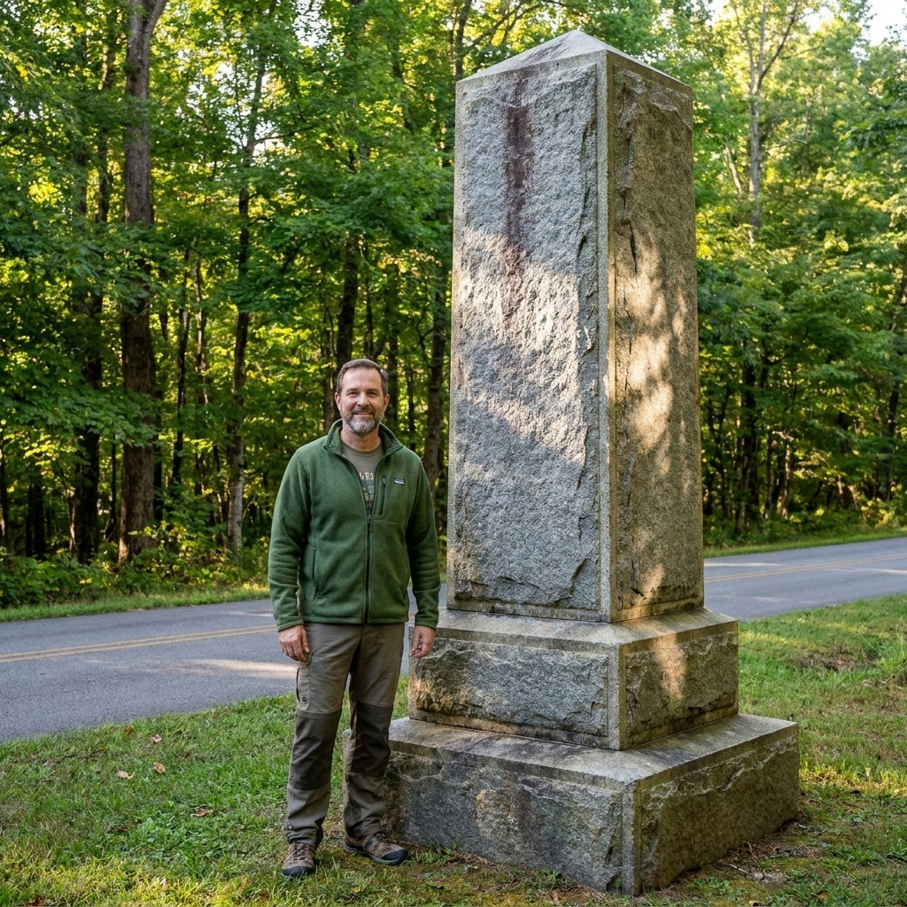
Chickamauga Battlefield Guide

Silas Weaver
Silas Weaver has spent decades exploring historic battlefields, reading primary journals, and tracking down the lesser-known stories of the American Civil War. His lifelong passion for 19th-century history comes through in his engaging accounts of the places, people, and lingering questions of the era. He believes that walking the actual grounds where history happened is the best way to truly connect with the past.
I grew up close enough to Gettysburg that the battlefield felt like an old neighbor. Chickamauga does not feel like that at first. It feels like woods. Tight, leafy, and confusing woods where the ground rolls just enough to hide whole brigades. The first time I drove those park roads, I understood why later writers and veterans often framed it as a western Gettysburg in importance, not in scenery. At Chickamauga, you navigate by monuments, road junctions, and clearings that appear suddenly like openings in a curtain.
This guide is how I like to tackle Chickamauga National Military Park: a plan that keeps you oriented, gets you to the tactical pivots, and still leaves room for the quiet moments where the place does its best teaching.
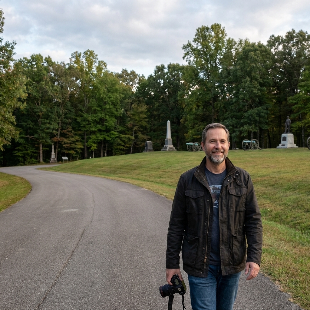
Quick note on scope: When people say “Chickamauga,” they often mean the larger Chickamauga and Chattanooga National Military Park. This article focuses on navigating the Chickamauga Battlefield unit near Fort Oglethorpe, Georgia, where the main fighting took place September 19 and 20, 1863, with movements and clashes beginning on the 18th.
Start here: get oriented
Chickamauga can make confident people humble. The woods and similar-looking lanes can spin you around, especially on a first visit. My best advice is to begin with two anchors and let everything else hang off them.
- Anchor 1: the visitor center. Use it to get your bearings, ask what roads or lots are temporarily closed, and pick up a current map. Even if you are not a museum person, the orientation is worth the stop.
- Anchor 2: the Brotherton area. If you understand what happened around the Brotherton Field and the nearby woods on September 20, the rest of Chickamauga starts to make sense.
If you are building battlefield skills for other parks too, our broader travel approach is collected in Battlefield Travel, and if you want a simple structure for a full day, use Plan a Civil War Battlefield Day as your backbone.
Why Chickamauga is hard to read
Gettysburg gives you long sight lines and obvious high ground. Chickamauga gives you short distances, sudden clearings, and the nagging feeling that you are always just a little lost. That is not a failure of imagination. It is the battlefield.
- Visibility is limited. In many places you can only see a few dozen yards into the trees. That matters, because units at Chickamauga often fought by sound, instinct, and confused orders.
- The action funnels through roads. Lafayette Road and a handful of nearby lanes and junctions become your mental compass.
- The ground is subtle. Small rises and shallow depressions matter more here than dramatic hills. A low ridge line can be the difference between cover and catastrophe.
Once you accept those rules, the park stops feeling random and starts feeling brutally logical.
A first-visit route
This is my preferred order if you have one solid day. It is not the only way, but it keeps the story coherent and keeps you from pinging around the map.
Stop 1: Visitor Center and a question
Before you drive far, frame the battle in one question you can carry all day: How did a two-day fight in the woods become one of the bloodiest battles of the war, and why did it swing so suddenly on September 20? Chickamauga is full of little answers that add up.
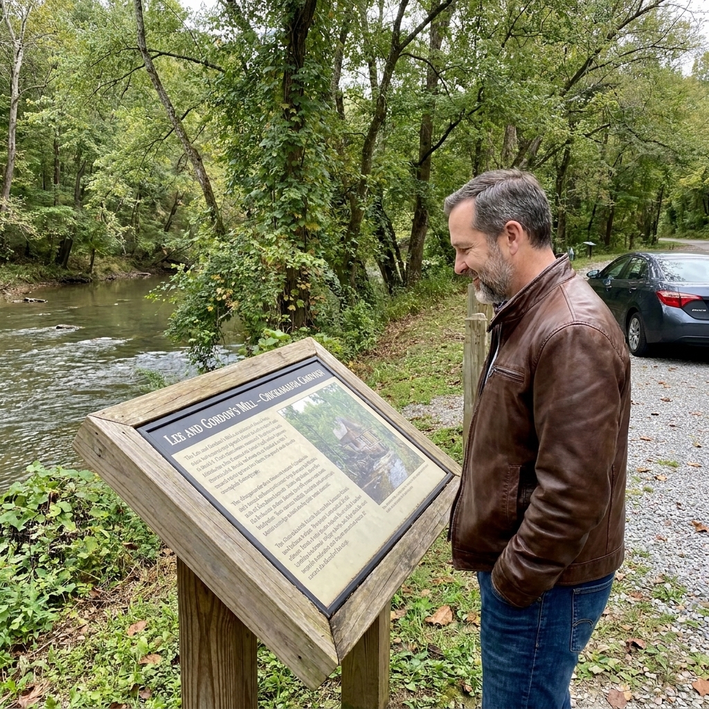
Stop 2: Lee and Gordon’s Mill
Down near the creek crossings, the battlefield feels more like a place soldiers would recognize: water, roads, and the sense that everyone is trying to control the same few practical choke points. Lee and Gordon’s Mill grounds you in the geography of Chickamauga Creek, and in the opening movements that brought the armies into collision.
Stop 3: Viniard Field
Viniard is one of those places that helps you feel how fighting could surge out of the woods and slam into an open patch of ground. Fields like this become reference points. Soldiers remembered them because, for a moment, you could see.
Stop 4: Brotherton Field
If you only have time for one area beyond the visitor center, make it Brotherton. This is the neighborhood of the famous rupture in the Union line on September 20. You do not need to be a tactical scholar to appreciate what a gap means when the woods hide your flanks and orders arrive late, garbled, or not at all.
Stand quietly and look for the things that do not show up in a dramatic painting: short distances, limited views, and the way roads dictate movement.
Stop 5: Dyer Field
The fighting around the Dyer Field helps connect Brotherton to the desperate, stubborn defensive efforts that followed. It is also a good place to feel the scale of the battlefield. Chickamauga is not one field. It is a series of connected crises.
Stop 6: Snodgrass Hill and Horseshoe Ridge
This is the emotional center of a Chickamauga visit for many people. Snodgrass Hill and Horseshoe Ridge are where the Union defense stiffened when it had every reason to crumble. You will see why veterans spoke of it in the language of last stands. The ground rises enough to matter, the monuments cluster thick, and the woods close in tight around the positions.
Stop 7: Kelly Field
Kelly Field gives you a broader sense of how fighting spread and shifted, and how both armies kept feeding men into the timber. It is a good late-day stop because, by this point, your mind has a map. You can finally place pieces.
Optional: Wilder Tower
If you want a rare wide view, head to Wilder Tower. Chickamauga does not offer many overlooks. From above the treetops, you can finally understand how close everything is, and why the woods made coordination so hard. If you do not see the name on your map or on nearby signs, ask at the visitor center what it is labeled today.
What to look for
At Chickamauga, I try to avoid turning every stop into a lecture. Instead, I keep a short checklist of what each area teaches.
- Lafayette Road: Not just a name on a sign. It is a spine. Find it on the ground and you will understand why commanders obsessed over it.
- Open fields like Viniard and Brotherton: Ask how a unit would cross that open space under fire, and where it would seek cover when the woods begin again.
- Subtle ridges: At Snodgrass Hill the elevation is obvious, but elsewhere it is the small rises that create temporary advantage.
- Monument clusters: They can look overwhelming, but they also tell you where veterans later agreed the fighting was decisive or unforgettable.
Navigation tips
You can have a map in your hand and still feel turned around. These habits help.
- Reset at every stop. Before you pull out, glance at the park map and say out loud where you are going next. It sounds silly. It works.
- Use roads as your compass. When you cross Lafayette Road, note it. When you run parallel to it, note that too. Chickamauga is a road battle as much as a field battle.
- Do not chase every marker. Pick a handful of key areas and give them time. You will leave with a clearer mental picture than if you sprint between fifty tablets.
- Let monuments be mileposts. At first, treat them like street signs. Later, read the inscriptions when the ground story starts to click.
Logistics and comfort
Chickamauga rewards slow travel. A few practical habits keep you from rushing back to the car.
- Time: For a full-day visit with short walks and reading time, plan on most of the day, not a quick loop. If you keep moving, 2 to 3 hours can still give you a real taste.
- Heat and bugs: In warm months, the woods can be humid and the bugs can be enthusiastic. Ticks and chiggers are part of the bargain in grassy edges and leaf litter.
- Good shoes: Even short walks can be rooty and uneven, especially off pavement.
- Water and snacks: The park is large and you will likely spend more time driving and stopping than you expect.
- Drive carefully. Park roads are visitor-friendly, but they can feel narrow in spots, with frequent pull-offs and pedestrians near monuments.
- Accessibility: Many major stops are roadside or require only short walks, but some ground is uneven. If mobility is a concern, the visitor center can steer you toward the easiest surfaces and the simplest parking.
- A small notebook: Jot down monument names or unit positions you want to look up later. Chickamauga has a way of sending you back to the books.
If you enjoy connecting the ground to the people who fought over it, you can broaden the human side of your trip in Civil War Life.
Two itineraries
2 to 3 hours
- Visitor Center orientation
- Brotherton Field
- Snodgrass Hill and Horseshoe Ridge
- One additional field stop, either Viniard or Kelly, depending on your direction of travel
Full day
- Visitor Center
- Lee and Gordon’s Mill
- Viniard Field
- Brotherton Field and the September 20 rupture area
- Dyer Field
- Snodgrass Hill and Horseshoe Ridge
- Kelly Field
- Optional: Wilder Tower late afternoon for a broader view
“Gettysburg of the West”
You will often hear Chickamauga called the “Gettysburg of the West.” The nickname is not exclusive to this battlefield, and you will hear it applied to other Western Theater fights too. What people usually mean is something simpler and true: Chickamauga was a major, army-on-army collision with staggering casualties, heavy political weight, and enormous consequences. It helped set the stage for what came next around Chattanooga.
But on the ground, the contrast matters. Gettysburg teaches you to look far. Chickamauga teaches you to look close. A bend in a road. A low rise. A field edge that becomes a target line. If you walk away with that lesson, you have understood the park the way a soldier would have, one anxious yard at a time.
And if this visit leaves you curious about how Chickamauga connects to the larger story, remember that the Chattanooga side of the park is where you see what the battle made possible and what it forced next. That is a different day, but it is the next chapter.
Common questions
Is Chickamauga easy to drive?
Yes. The park roads are visitor-friendly, and many major stops have pull-offs or parking areas. What is hard is not the driving. It is keeping a mental map in the woods.
Do I need to hike deep into the woods?
No. You can understand the battlefield from short walks and smart stops. That said, a few quiet steps away from the car can change the feel of the place. The woods are the story.
What is the one place I should not miss?
Snodgrass Hill and Horseshoe Ridge, with Brotherton Field a close second. Together they show you both the rupture and the stand that followed.
Keep reading