3-Day Virginia Civil War Battlefield Road Trip

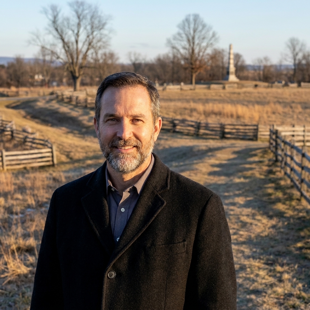
Silas Weaver
Silas Weaver has spent decades exploring historic battlefields, reading primary journals, and tracking down the lesser-known stories of the American Civil War. His lifelong passion for 19th-century history comes through in his engaging accounts of the places, people, and lingering questions of the era. He believes that walking the actual grounds where history happened is the best way to truly connect with the past.
I grew up close enough to Gettysburg that battlefields felt like a kind of backyard. Virginia, though, hits different. The ground between Fredericksburg and Spotsylvania is so tight with history that you can spend more time reading the land than reading the road signs. In just a few days, you can follow a brutal arc from the stone wall at Marye’s Heights to the cramped chaos of the Wilderness, then on to the earthworks and anguish of Spotsylvania’s Mule Shoe.
This is my go-to three-day loop when I want the maximum “on the ground” experience with minimum windshield time. By “loop,” I mean you can sleep in the Fredericksburg area each night and make day trips that generally keep you to about 1 to 2.5 hours of total driving per day, depending on detours and traffic. If you are the type who likes early starts, plan to be on the first field by 9 a.m. and you will still have time to finish your last stop before dinner without rushing the walking.
Before you go
- Park basics: Most of what you will visit is part of Fredericksburg and Spotsylvania National Military Park. Hours and access can vary by season, staffing, and weather, so check current conditions before you drive out.
- Best seasons: Late fall through early spring is ideal for visibility in the Wilderness and Spotsylvania woods. Summer is doable, but the thickets are honest work.
- What to bring: Good walking shoes, water, a small flashlight (for reading waysides at dusk), a paper map or offline map, and bug spray in warm months.
- Safety and comfort: In warm months, assume ticks and poison ivy are part of the landscape. Stay on established paths. The Wilderness can feel strangely disorienting if you wander off trail, because so much of it looks the same.
- Accessibility: Marye’s Heights has some of the easiest walking in the itinerary with relatively open ground and clear paths. Wilderness and Spotsylvania feature uneven surfaces, roots, and mud after rain. If mobility is limited, you can still get a meaningful visit by leaning on visitor center exhibits and shorter wayside stops.
- Respect the ground: Stay on established paths, treat earthworks as fragile, and remember that many of these landscapes are cemeteries in all but name.
If you are new to battlefield travel, I keep my general approach (what to pack, how long to budget, and how to read terrain) in Battlefield Travel. For building your own day plan anywhere, start with Plan a Civil War Battlefield Day.
The route at a glance
- Day 1: Fredericksburg (Fredericksburg Battlefield Visitor Center, river crossings, Marye’s Heights, Salem Church)
- Day 2: Chancellorsville (Chancellorsville Battlefield Visitor Center, Jackson’s flank attack area, Hazel Grove, Fairview, Chancellor House area) plus a sunset taste of the Wilderness
- Day 3: Wilderness (Saunders Field, Orange Plank Road and Brock Road area, Widow Tapp Field) and Spotsylvania (Mule Shoe, Bloody Angle)
Where to base: For simplest driving, I base in or near Fredericksburg all three nights. You can do the whole itinerary as day loops without moving hotels.
Day 1: Fredericksburg
Goal today: Get oriented in the town and the terrain, then spend the afternoon where the battle’s most famous slaughter unfolded.
Practical note: Restrooms are easiest at the visitor center stops. Once you are out on the fields, services thin out fast.
Stop 1 (Morning): Fredericksburg Battlefield Visitor Center
Start at the Fredericksburg Battlefield Visitor Center to get your bearings. I like to step outside afterward and look toward the Rappahannock. Even if modern buildings interrupt the view, the basic military problem is still there: a river line, limited crossings, and a town pressed right up against the water.
Time: 60 to 90 minutes.
Stop 2 (Late morning): The river and the crossings
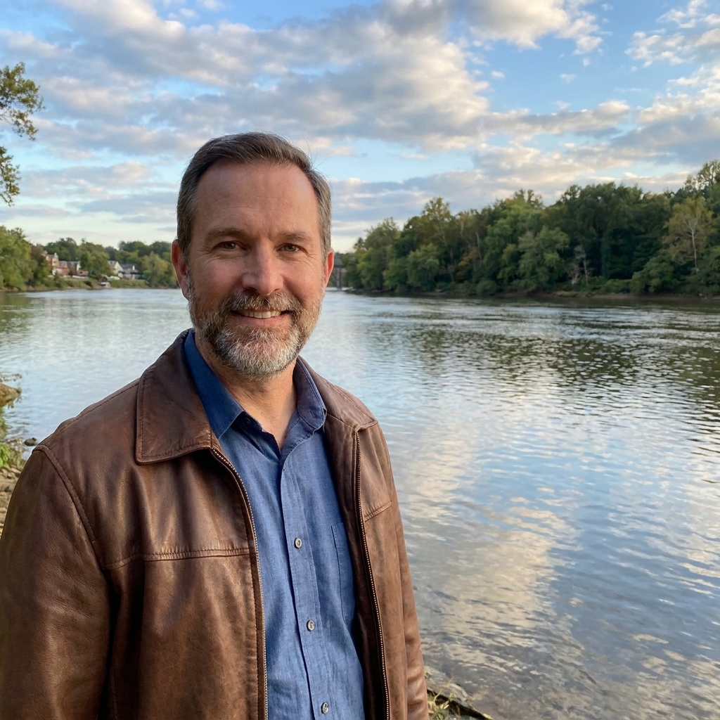
After the visitor center, go see the river itself. The simplest way to make Fredericksburg click is to stand along the Rappahannock and picture the U.S. engineers trying to push pontoon bridges into place in bitter weather while Confederate riflemen fired from the town and riverbank positions. You do not need to chase every exact bridge site to feel the problem. You just need the water in front of you and the town tight to the far edge of it.
Where I do this: I keep it straightforward and choose a public riverfront spot in Fredericksburg where I can safely park, walk a minute or two, and look up and down the river line without forcing the moment.
Time: 30 to 45 minutes.
Stop 3 (Afternoon anchor): Marye’s Heights and the Sunken Road
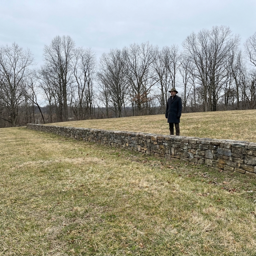
This is where I bring first-timers, because the ground teaches fast. Walk the open approach toward the stone wall and the Sunken Road. Do not rush. The slope is the story. The wall is the story. The way the line sits above the field is the story.
- Must-do walk: From the base of the field up toward the wall, then stand at the wall and look back the way the attackers came.
- Look for: Lines of sight, how little cover exists, and how the defenders’ position channels fire.
Time: 90 minutes to 2 hours.
Stop 4 (Late afternoon): Salem Church
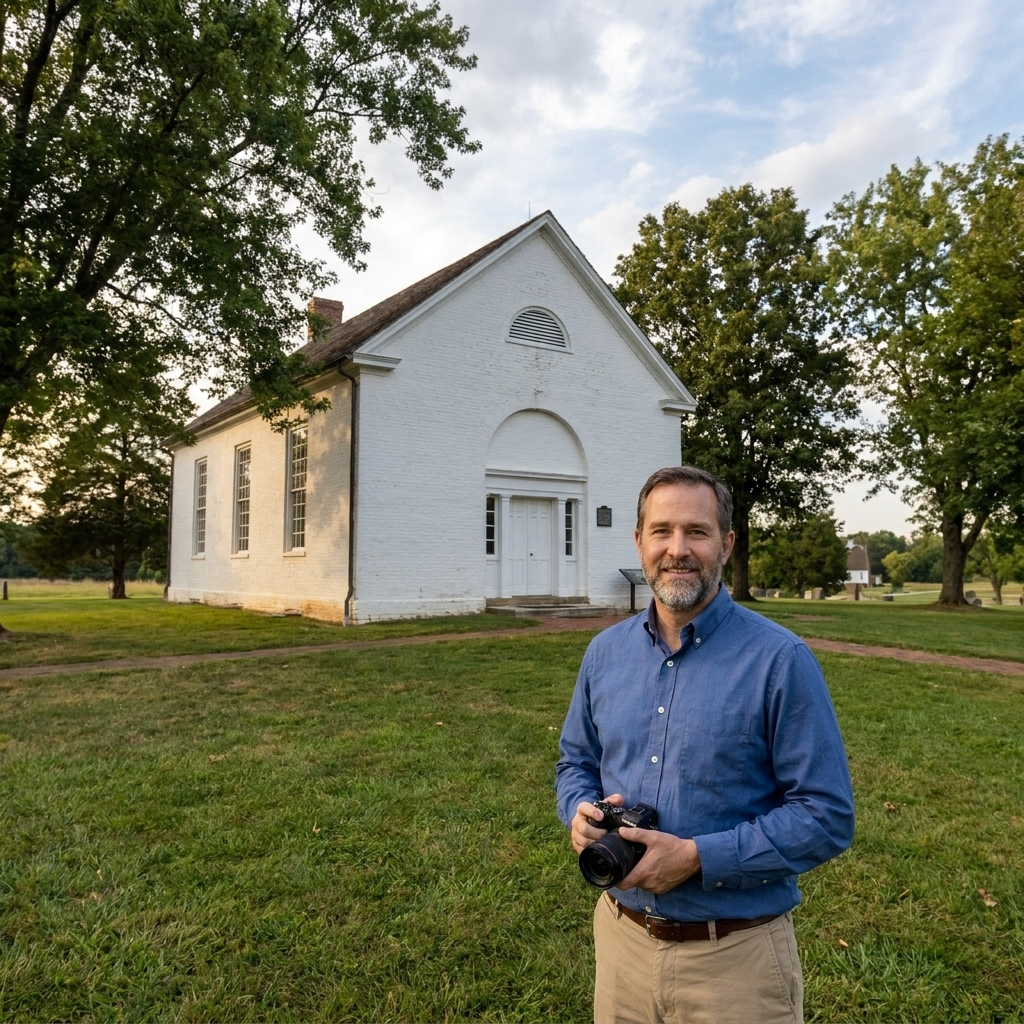
Salem Church is a quieter stop that rewards you if you give it real attention. It matters because it ties Fredericksburg directly into the Chancellorsville story. When people say “Chancellorsville,” they often picture the crossroads and the woods. Salem Church reminds you the campaign sprawled back toward Fredericksburg in a series of linked fights and hurried movements.
Time: 45 to 60 minutes.
Evening: Downtown Fredericksburg walk
If you have any energy left, spend an hour on foot in town. A battlefield day lands harder when you remember there was a living community here, not just troop movements on a map.
Day 2: Chancellorsville
Goal today: Track the battle in a way that makes the forest feel like an active participant, because at Chancellorsville it was.
Drive plan: Base in Fredericksburg, then drive to the Chancellorsville area in the morning. Distances between core stops are short, but the roads can be busy. Build in buffer time.
Practical note: This is a good day to top off water and use restrooms at the visitor center before you start hopping between field stops.
Stop 1 (Morning): Chancellorsville Battlefield Visitor Center
Start here even if you think you know the story. Chancellorsville is confusing on the ground the first time, because the fight sprawls through second-growth woods and along a web of roads. The exhibits and maps help you place the day’s stops in sequence.
Time: 60 to 90 minutes.
Stop 2: Hazel Grove
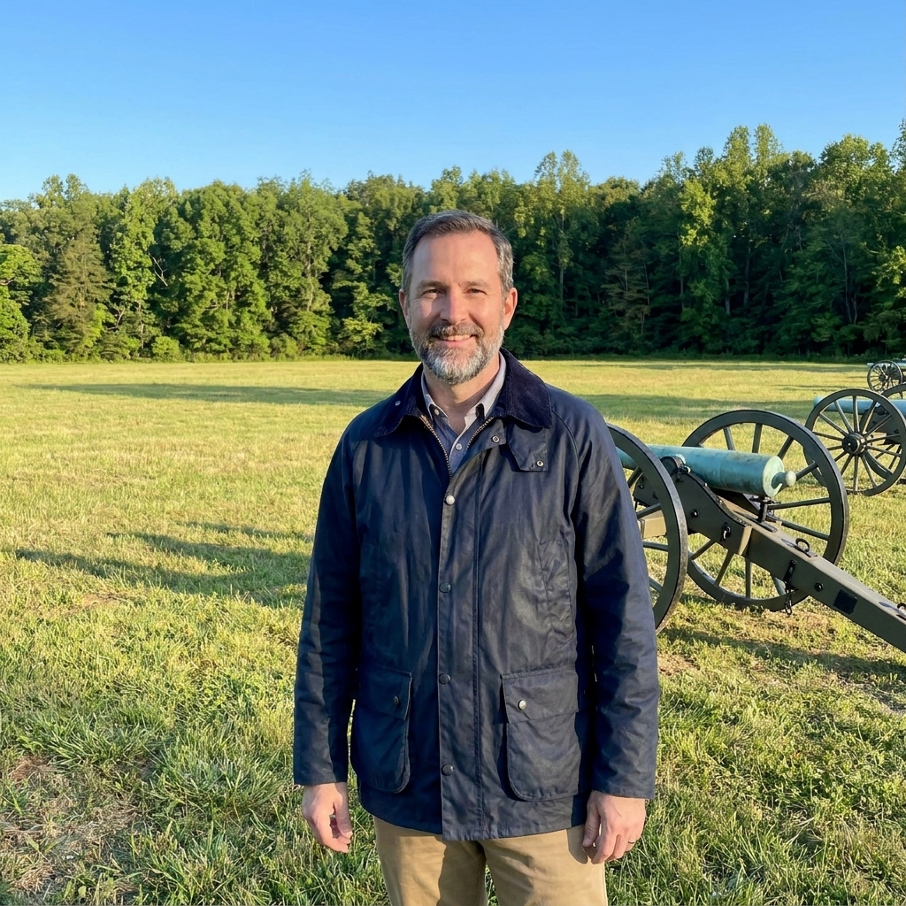
If you want one spot that explains why artillery mattered, Hazel Grove is it. The open ground and the angles make it easy to understand how quickly a good piece of land becomes decisive.
- Look for: Open fields and the way they dominate nearby woods.
Time: 30 to 45 minutes.
Stop 3: Fairview and the Chancellor House area
This is where the fight tightens and the human cost becomes harder to keep abstract. Walk slowly. Read the waysides. Try to picture the pressure of commands trying to hold together while smoke, trees, and confusion erase the neatness of any plan.
Time: 60 minutes.
Stop 4 (Midday): Jackson’s flank attack area
Chancellorsville without Jackson’s flank movement is like Fredericksburg without the stone wall. You do not need to cover every footstep, but you should visit at least one signed stop in the flank attack area that helps you understand how an entire wing of an army can slide through woods and come crashing out of them late in the day.
- Look for: How limited visibility is, even when you feel close to open ground.
- Practical tip: Do a short walk, then stop talking for two minutes. Let the woods make its point.
Time: 45 to 75 minutes.
Stop 5 (Late afternoon, optional): First taste of the Wilderness
If you have daylight left, drive a short loop toward the Wilderness battlefield and make one brief stop at a well-marked pull-off or wayside. I like doing this as an appetizer, because it sets your mind for Day 3. The Wilderness is not pretty. It is gripping. It feels close. It feels like the land is pressing in.
Time: 30 to 45 minutes.
Day 3: Wilderness and Spotsylvania
Goal today: See how combat changes when maneuver is strangled by vegetation, then how it evolves into earthworks-dominated fighting at Spotsylvania.
Drive plan: Start early. Wilderness and Spotsylvania are close enough to pair in a single day if you stay disciplined with your time at each stop.
Practical note: Food options are limited once you are out between the fields. I usually treat this as a pack-a-lunch day.
Stop 1 (Morning): Saunders Field
Saunders Field is one of the best places I know to explain Wilderness fighting to someone who has never stood in it. You have open ground and then, immediately, the wall of woods. That boundary is where order turns into fragments.
- Must-do: Stand at the edge where field meets timber and look into the trees. Then turn around and look back across the open ground.
- Look for: How quickly units would lose alignment once they entered the brush.
Time: 45 to 60 minutes.
Stop 2: Orange Plank Road and Brock Road
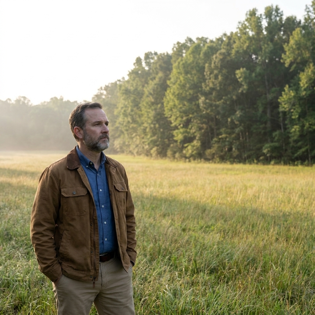
Roads in the Wilderness are not just routes. They are lifelines and reference points. They become magnets for violence because they are the only dependable lines through terrain that swallows formations.
Where to focus: Pick one clearly marked stop where you can safely park and walk a short stretch along a trail or wayside near these road corridors. A few minutes on foot is worth more than another ten minutes of driving.
Time: 45 to 75 minutes.
Stop 3 (Late morning): Widow Tapp Field
Widow Tapp Field gives you another clean read of Wilderness geometry: open space ringed by woods, with the fight repeatedly slamming into that edge. It is also a good place to reset your sense of direction before you leave the Wilderness and head for Spotsylvania.
Time: 30 to 45 minutes.
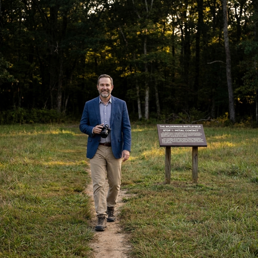
Stop 4 (Early afternoon): Spotsylvania overview
By the time you reach Spotsylvania, you can feel the campaign’s rhythm changing. The fighting becomes about angles, lines, and endurance, and the earthworks are not background scenery. They are the main character.
Stop 5 (Afternoon anchor): Mule Shoe and the Bloody Angle
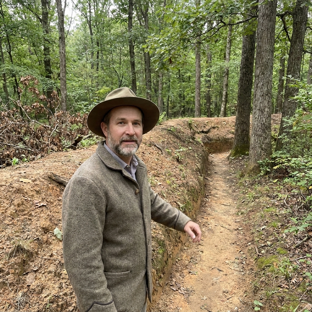
This is the heart of Spotsylvania for most visitors, and rightly so. Walk the lines. Read the ground. Notice how the works shape everything, including what a soldier could hope for if things went wrong.
- Must-do walk: Follow the earthworks and pause often. Try to picture the rain, the smoke, and the press of bodies in confined space.
- Look for: How close opposing lines could be, and how the shape of the salient invited disaster.
Time: 90 minutes to 2 hours.
Evening: A quiet close
If you can, end with a final stop where you can look across a piece of ground you walked earlier. I like closing a trip the way soldiers often wrote about it: not with a grand summary, but with a small moment of silence that makes room for the weight of what you have seen.
Must-see stops
- Fredericksburg: Marye’s Heights and the stone wall
- Chancellorsville: Chancellorsville Battlefield Visitor Center plus Hazel Grove
- Wilderness: Saunders Field
- Spotsylvania: Mule Shoe and the Bloody Angle
Common questions
Is this trip good for families?
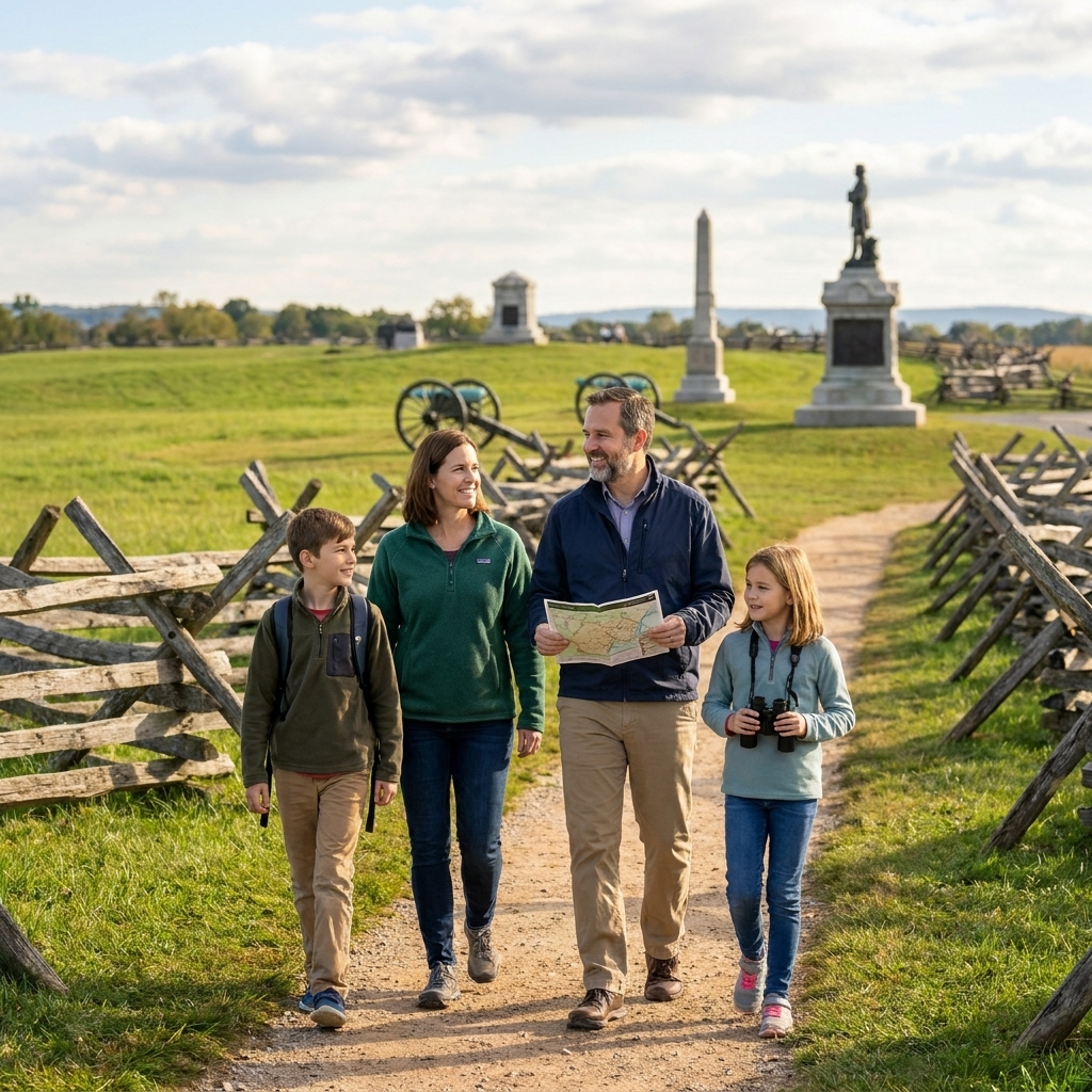
Yes, especially if you keep walks short and focus on a few high-impact places. Fredericksburg’s open ground is easier for kids than longer Wilderness trails. Spotsylvania can be muddy and uneven after rain.
Do I need to visit in order?
You will understand the story best in the order presented here because it follows the campaigns and how the fighting evolves. But if you only have one day, pairing Wilderness and Spotsylvania still gives you a powerful through-line.
How much walking is involved?
Expect several short walks each day, plus one longer stretch at Marye’s Heights and at the Bloody Angle. You can scale it down by choosing fewer stops and leaning on waysides and overlooks.