Wheelchair-Accessible Civil War Battlefields and Trails

Silas Weaver
Silas Weaver has spent decades exploring historic battlefields, reading primary journals, and tracking down the lesser-known stories of the American Civil War. His lifelong passion for 19th-century history comes through in his engaging accounts of the places, people, and lingering questions of the era. He believes that walking the actual grounds where history happened is the best way to truly connect with the past.
I have spent most of my life chasing Civil War ground, from famous ridgelines with bronze statues to quiet farm lanes where you have to squint and imagine the smoke. And I have also learned something the hard way: “battlefield travel” can mean very different things once you start thinking in terms of curbs, grades, surface texture, and how far it is from the parking area to the view you came to see.
The good news is that many of the most meaningful Civil War places in the country now often have at least some workable options for visitors using wheelchairs or other mobility aids. This guide focuses on parks that tend to deliver three things: accessible visitor centers, paved segments in key areas, and viewpoints where you are not stuck staring at a distant treeline from a roadside pull-off.
Before you go
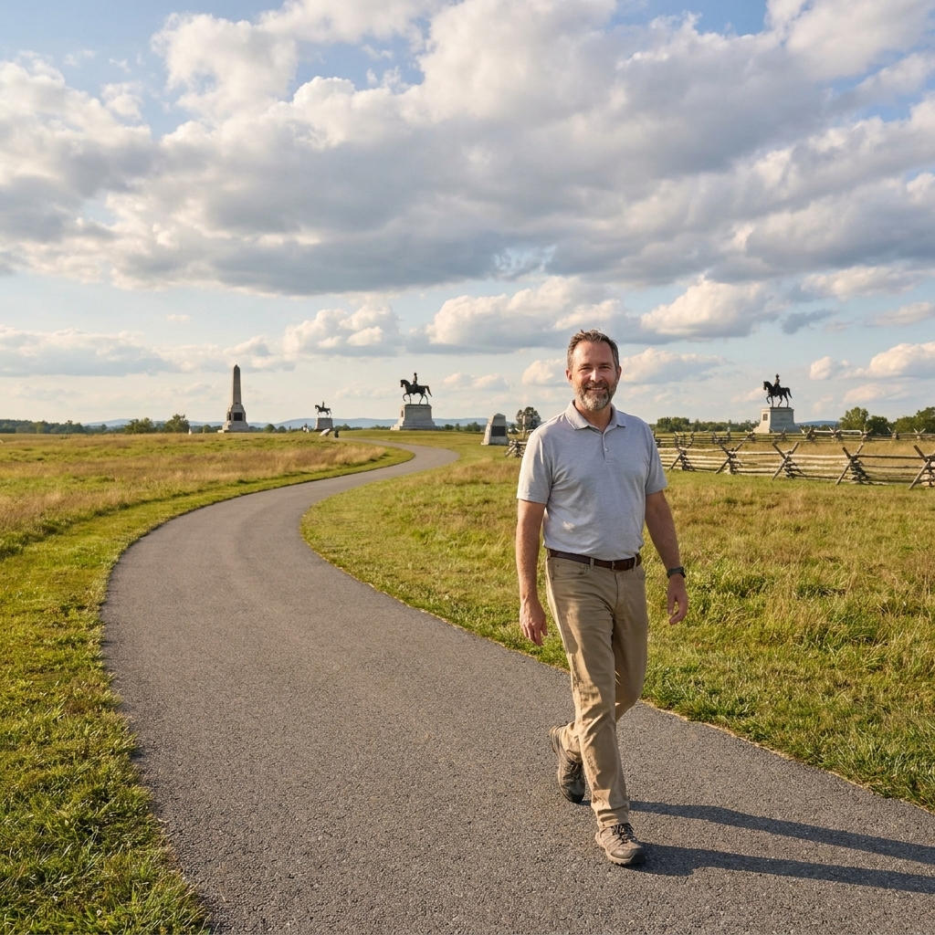
On paper, a park can be accessible and still be tiring. Battlefields were built by terrain, after all. Here are the practical details I always look for when planning a day that needs to be low-friction.
- Surface: Paved is best. “Hard-packed” can mean gravel that behaves like sand under small front casters.
- Grade and cross-slope: A short hill is one thing. A long, steady climb or a tilted cross-slope can be the real energy drain, especially in a manual chair.
- Distance from parking to meaning: Sometimes a quarter-mile push is the difference between doable and not. I look for stops where the story is readable close to the accessible parking space.
- Restrooms: Not just at the visitor center. Out on the tour route, too.
- Shade and benches: Summer heat on open ground is no joke. Benches placed at the right intervals matter.
- Vehicle access: A good auto tour can be an accessibility tool, especially when paired with a few paved stops that get you out into the landscape.
Also, “mobility aid” is a wide category. A power chair can shrug off grades that would wear out a manual chair. A walker might handle short, smooth gravel better than a chair with small casters. I plan with the most sensitive setup in mind, then adjust up from there.
If you want a broader planning checklist for any site, I keep my own routines simple and repeatable. The basics are in Plan a Civil War Battlefield Day, and the bigger picture is in Guide to Battlefield Travel.
Wheelchair-friendly battlefields
Accessibility changes as parks repair roads, rework visitor centers, and close sections for maintenance. Treat any list like this as a strong starting point, not a guarantee. What I can do is steer you toward parks where you can usually build a meaningful day around accessible indoor interpretation plus outdoor stops that are either paved or very close to the car.
Gettysburg (Pennsylvania)
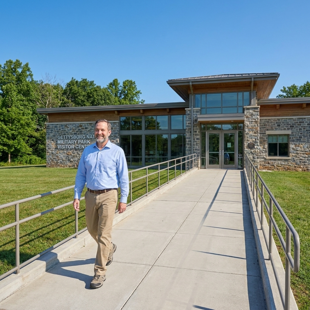
I grew up a short drive from Gettysburg, and even now, after all these years, it still feels like a living map. Gettysburg is also one of the better picks for a visitor who wants real access to the field, not just a view from the driver’s seat.
- Why it tends to work: A modern visitor center complex and many roadside pull-offs on the auto tour, plus several paved walkways around high-traffic interpretation areas.
- Good “get out and roll” stops: The High Water Mark area at the “Copse of Trees” is a classic choice because you can get meaning fast: park, roll a short distance, and you are standing where the attack crested. I also like to use the Pennsylvania Memorial stop as a low-effort anchor because it gives you a big, legible view with a short approach from parking.
- About Little Round Top: People ask about it constantly, and it can be worth a look, but access there has been condition-dependent due to rehabilitation work and changing traffic patterns. When it is open, I treat it as a bonus stop and plan the day so I can skip it without losing the story.
- Best “mostly by car” experience: The driving tour itself. Gettysburg is one of the places where you can read a lot of terrain from the road if you pick your stops carefully.
- What to watch for: Famous ground often means slopes, grassy approaches, and curb-height transitions. After rain, grass can turn into wheel-trap mud fast.
- How I verify the day-of reality: I check the park’s current alerts and its accessibility details the week of the trip.
If I only had 2 hours at Gettysburg: I would start at the visitor center for the map and context, then do three stops: High Water Mark at the Copse of Trees, the Pennsylvania Memorial for a big field read, and a final, quieter stop in the National Cemetery area to bring the human side back into focus.
Antietam (Maryland)
Antietam is quiet in a way that can feel almost unreal, considering what happened there. From an accessibility standpoint, it is a battlefield where the driving tour carries the distance so you can spend your limited energy on the stops that matter.
- Why it tends to work: You can string together a powerful narrative with short stops and short distances from parking. Some viewpoints are on pavement or firm, compact surfaces, but do not assume continuous pavement at every stop.
- Good “get out and roll” moments: The Bloody Lane (Sunken Road) overlook is one of the best maximum-story, minimum-distance stops, especially if you keep your visit centered on the waysides and the overlook area rather than trying to get down into uneven ground. The Dunker Church area is another reliable planning point because you can read the opening phase of the battle from close to the road and connect it to the cornfield fighting without committing to a long push.
- Burnside Bridge, realistically: It is an essential stop, but getting close to the water and bridge can involve grades that feel steep on the way back up. I treat it as a choose-your-distance stop: take the view you can get comfortably, and let the terrain explain why it took so long.
- Best “mostly by car” experience: A slow loop using the tour route, with time to read waysides and look across the fields.
- What to watch for: Gravel, uneven edges, and short climbs that do not look like much until you are halfway up them.
- How I verify the day-of reality: I look for posted changes to pull-offs, restroom availability, and temporary surface work.
If I only had 2 hours at Antietam: Visitor center first, then Dunker Church, Bloody Lane overlook, and a final stop at Burnside Bridge for the terrain lesson even if you keep the rolling distance modest.
Manassas (Virginia)
Manassas is one of those places where the war’s early confidence and confusion still seem to hang in the air. It can be a strong choice if you want a mix of indoor interpretation and outdoor stops that do not demand long distances.
- Why it tends to work: Visitor center access plus a road network that gets you close to major action areas.
- Good “get out and roll” stops: Henry Hill is the first one I plan around because it gives you monuments, sight lines, and a readable battlefield shape without a long push. The Stone Bridge area is another strong stop for a close-in look at the creek crossing and approach corridors, even if you keep the rolling distance short and stay on firm surfaces.
- One more easy anchor: I also like the Chinn Ridge area as a “park, take it in, read the ground” stop. It helps you understand why the second battle unfolded the way it did, and it is often a good place to catch your breath while still feeling like you are on the field.
- Best “mostly by car” experience: A stop-and-start tour day where the car handles the distance and the wheelchair handles the close-in perspective at a few chosen points.
- What to watch for: Cross-slopes and rough transitions where pavement ends and packed earth begins.
- How I verify the day-of reality: I check for trail closures and any alerts that affect which stops have accessible parking available.
Vicksburg (Mississippi)
Vicksburg is a place where the Civil War becomes engineering, endurance, and siege lines carved into the earth. For accessibility, it is often at its best when you treat the driving route as the spine of the visit.
- Why it tends to work: Many meaningful monuments and waysides are visible from paved pull-offs. In several places, you can get right up to the interpretation on a paved apron, but not every stop is built the same way.
- Good “get out and roll” stops: The Illinois Memorial is a dependable, high-impact stop with a strong sense of place right where you park. I also like to build time around the USS Cairo Museum area, where you can pair indoor interpretation with short, manageable outdoor rolling in the immediate vicinity.
- Best “mostly by car” experience: A deliberate tour where you treat each pull-off like a chapter of the siege.
- What to watch for: The moment you leave the road edge, the surface can shift quickly to grass, uneven ground, or a narrow path.
- How I verify the day-of reality: I check for road work and for any areas where pull-offs are temporarily blocked or narrowed.
Chickamauga and Chattanooga (Georgia and Tennessee)
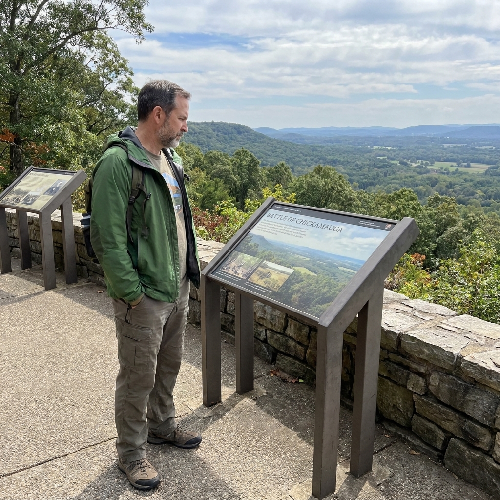
Chickamauga’s woods can feel close and tangled even on a bright day. Chattanooga’s views, by contrast, open up and stretch. Together they make one of the richest battlefield trips in the country, but it helps to think of them as a set of separate areas with different terrain and different access.
- Why it tends to work: A well-developed park system with strong vehicle access and multiple overlooks and interpretation points.
- Good “get out and roll” stops: I lean on big, clear story platforms here. Snodgrass Hill is one of the best places to grasp the desperation of the fighting with relatively short distance from parking.
- Chattanooga-side viewpoints: For the broad terrain read with minimal rolling, I plan around developed, drive-up areas like Point Park on Lookout Mountain, where you can absorb the geography without turning the day into a trail commitment.
- Best “mostly by car” experience: Linking the major viewpoints by road, then choosing one or two short hard-surface areas to roll and linger.
- Planning help: If you want the historical sequence and must-see stops, start with our Chickamauga Battlefield Guide, then tailor it to the most accessible segments.
- What to watch for: “Easy” in one unit does not automatically translate to “easy” in the next. Each area has its own grades, surfaces, and distances.
Shiloh (Tennessee)
Shiloh is solemn ground. It is also a battlefield where a thoughtful driving route, paired with a few carefully chosen stops, can give you a full narrative arc without demanding long distances over rough terrain.
- Why it tends to work: Vehicle access to major interpretive points and a visitor center that can help build context before you go out onto the field. Hours and access details can shift seasonally, so I never assume the building will be open without checking.
- Good “get out and roll” stops: The Hornets’ Nest area is one of the best places to stop and feel the shape of the fight from close range, with short distances from the road and plenty to read. Pittsburgh Landing is another stop I build around, not because it is flashy, but because it ties the battle to the river, evacuation, and logistics.
- If you can only do one stop: I make it Pittsburgh Landing. It is where the battle’s geography makes immediate sense, and where you can connect the field to the river without needing a long walk into the woods.
- Best “mostly by car” experience: A chapter-by-chapter drive, with brief stops rather than long trail ambitions.
- What to watch for: Ravines and wooded paths can be steep, narrow, or uneven. Treat anything that drops sharply away from the road as optional unless you have strong assistance.
- How I verify the day-of reality: I check alerts for road closures, restroom access, and visitor center hours.
Harpers Ferry (West Virginia)
Harpers Ferry can be tricky because it is steep and layered, with historic streets, elevation changes, and a lot of “just a little grade” that adds up quickly. But it is also one of the most compelling places to visit if you plan around the accessible pieces.
- Why it can still be worth it: The interpretation is deep, and the landscape explains the history in a way few places can match.
- Good “get out and roll” stops: I start in Lower Town, and I aim for the flattest, most straightforward cluster: the area around Shenandoah Street and the core historic blocks near the confluence. You can get a lot of meaning there without fighting the steepest grades all day.
- Where to get the tactical view: If you want the surrounding-heights perspective without a punishing push, plan a drive-up stop at Bolivar Heights. It is the kind of overlook that helps you understand, immediately, why Harpers Ferry is a trap when the heights are held against you.
- A note on Maryland Heights: Maryland Heights is a steep hike, not a drive-up overlook. I do not plan wheelchair-accessible itineraries around Maryland Heights unless someone in the group specifically wants a strenuous hiking challenge and has the right setup and support.
- What to watch for: Historic surfaces can be “firm” and still be uncomfortable, especially brick and uneven stone. They can also be slick when damp. Plan for slower travel and shorter distances.
- Transit and logistics: Harpers Ferry often involves specific parking and circulation patterns. If you need a guaranteed accessible route from parking to your first stop, check the park’s current guidance before you arrive.
- How I verify the day-of reality: I check alerts for any changes to parking, shuttle operations if applicable, and closures that would force a steeper route.
Accessible trails
When a park has one truly good paved trail segment, it can be worth the trip all by itself. Here is what I look for when choosing an “accessible trail” day rather than a “mostly driving” day.
- Continuous pavement for at least a half mile: Enough distance to feel like you are moving through the story.
- Trailheads with accessible parking: Not just a shoulder pull-off.
- Interpretive waysides on the hard surface: A small design choice that makes a huge difference.
- Turnaround space: Loops are nice, but a clear turnaround pad or wide spot prevents awkward reversing.
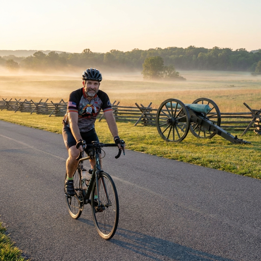
If your group also includes cyclists and you are comparing surfaces and grades, you might find overlap in Best Civil War Battlefields for Cycling. Many bike-friendly paved routes are also mobility-aid friendly, although the needs are not identical.
How I plan stops
On large parks, I build the day around anchor stops that have the most return on effort. You can do the same with a quick, no-fuss method.
- Start indoors: Visitor center first, while energy is highest and the restrooms are easy.
- Pick 3 to 5 outdoor stops max: Make each stop count. Choose places where the view explains the action.
- Separate “paved time” from “car time”: I like one longer paved segment, if the park has it, then several short, close-to-parking views.
- Balance shade and exposure: Mix open-field overlooks with wooded or shaded areas if possible.
- Leave time for the human side: Cemeteries, memorials, and quiet corners can be the most meaningful, and they often have smoother surfaces than backcountry trails.
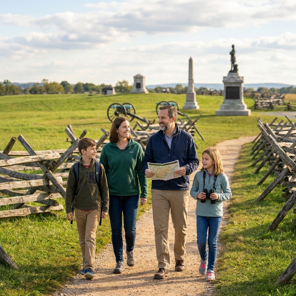
If you are traveling with kids as well, accessibility planning and attention-span planning fit together more than you would think. I wrote about keeping the day humane for everyone in How to Keep Kids Engaged on a Civil War Battlefield Trip.
What to pack
- Small cushion or pressure-relief pad: Even short stops add up over hours.
- Sun protection: Hat, sunscreen, and a light layer. Many battlefields are wide open.
- Water and a snack: Some parks have limited concessions, and even when they do, they might be far from the part of the tour you are on.
- Binoculars: They turn “distant ridge” into “I can actually read the terrain.”
- Gloves for pushing: Helpful on long paved stretches, especially in hot weather.
Small courtesies
Battlefield visitors are usually kind, but traffic patterns and parking lots can still be stressful. A few courtesies keep the day calmer for everyone.
- Do not block curb cuts: Even for a quick photo.
- Leave room at waysides: Many interpretation panels are approached from only one side.
- Use pull-offs thoughtfully: If you are reading for a while, park so others can still access the same stop.
Quick FAQ
Are Civil War battlefields wheelchair-accessible?
Many are accessible in pieces. The best visits combine an accessible visitor center, a strong driving route, and at least one paved segment where you can experience the ground directly.
Which sites are best for paved paths?
In my experience, the parks most likely to deliver reliable pavement are the larger sites with modern visitor facilities and heavy visitation, simply because those places tend to invest in durable surfaces. Even then, think “paved segments in key areas,” not wall-to-wall pavement.
How do I confirm what is accessible right now?
Conditions can change after storms, seasonal maintenance, or construction. If you need a specific route or facility to be open, check the park’s current alerts and accessibility information the week of your visit, and consider calling ahead. A good starting point is the National Park Service site at https://www.nps.gov/, then navigate to the specific park.
A final word
I have stood on enough battlefields to know that you do not need to cover every acre to feel the weight of what happened. One good paved segment. One overlook where you can see why a ridge mattered. One visitor center exhibit that puts faces and names back into the story. That is often plenty.
And if you ever find yourself watching the light fall across a quiet field and thinking, for a moment, that you can hear the distant echo of a line of men moving through the grass, you are not alone. That is why we go.