
Jackson’s 1862 Valley Campaign Driving Tour

Silas Weaver
Silas Weaver has spent decades exploring historic battlefields, reading primary journals, and tracking down the lesser-known stories of the American Civil War. His lifelong passion for 19th-century history comes through in his engaging accounts of the places, people, and lingering questions of the era. He believes that walking the actual grounds where history happened is the best way to truly connect with the past.
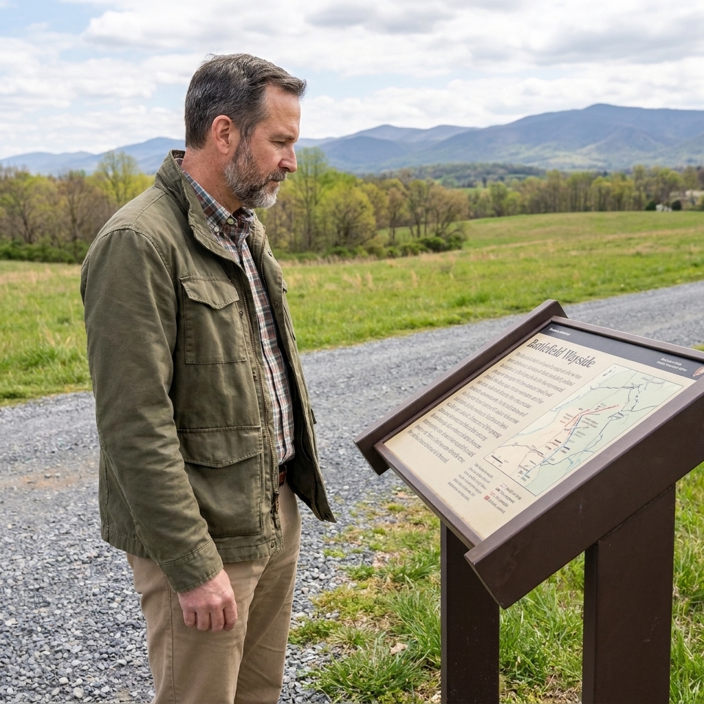
I grew up close enough to Gettysburg that I could almost smell the monument bronze on a humid July day. But the older I got, the more I found myself pulled south and west into Virginia’s long, folded valley, where the roads curl like creekbeds and the ridgelines keep secrets. If you want to understand why Thomas J. Jackson became “Stonewall” in the imagination of the Confederacy, you do not start with a statue. You start with mileage, mud, and mountain shadows.
Jackson’s 1862 Valley Campaign is not one battlefield. It is a string of hard marches and quick blows, stretched along the Shenandoah like beads on a cord. This driving tour is built for road trippers who like to step out, walk a few yards off the pavement, and let the ground explain what the books only summarize.
If you want background on how Jackson’s reputation crystallized early in the war, I keep a separate deep dive here: The truth behind Stonewall Jackson’s nickname at First Bull Run.
Before you go
Best season and pacing
Late April through early June is my favorite window for this route. You get long daylight, the fields look close to how soldiers described them, and the heat has not fully settled into the valley. Fall works too, especially if you like crisp mornings and clear views from the gaps.
You can do the whole route in a long day if you only stop for quick overlooks. To do it right, plan two days, or one full day focused on the central stretch between Winchester and Harrisonburg.
What to bring
- Paper map backup or offline maps. The valley has pockets where your signal will blink out right when you need it.
- Good walking shoes. Even “driving tours” turn into short walks on uneven ground.
- Binoculars for ridge-to-ridge reading of the landscape.
- A thermos of coffee, if you want to travel the way I do, starting at dawn when the fog still sits low in the bottoms.
Access and safety
A lot of Valley Campaign ground sits on, or right beside, private property. I stick to established parks, signed interpretive areas, public pull-offs, and clearly public trails. If a spot feels questionable, I treat it like a fence line in 1862 and stop short.
How to approach the sites
Jackson’s campaign makes more sense when you keep three questions in your pocket at every stop:
- What road or gap controls movement here?
- What high ground commands the valley floor?
- Where could an army disappear, and where would it be forced to show itself?
For general trip-planning tips, I recommend starting with our travel basics: Guide to battlefield travel and Plan a Civil War battlefield day.
The route at a glance
This tour runs north to south, following the campaign’s momentum as it swung Union forces off balance. It is best as a point-to-point drive, but it is easy enough to turn it into a loop by returning north on the main valley highways after your last stop.
- Start: Winchester area (Kernstown)
- Middle: Front Royal corridor, Winchester, New Market, Harrisonburg area
- Finish: Cross Keys and Port Republic
Driving distances are modest, but do not underestimate two things: slow two-lane roads and the temptation to stop at every ridgeline pull-off because the view looks like a war-era sketch come alive.
Stop 1: Kernstown (March 23, 1862)
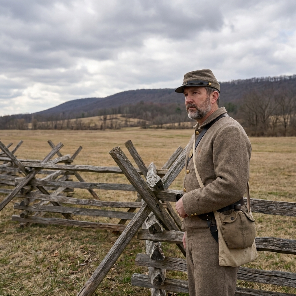
Kernstown is the campaign’s rough opening note. Jackson struck thinking he faced a smaller force and found out the hard way that the enemy had teeth. Tactically, it was a Confederate defeat. Strategically, it fed Washington’s anxiety about the Valley approaches and the rail and road routes that could threaten the capital. In the weeks that followed, Union leaders kept and redirected forces with the Valley in mind rather than sending every available man straight toward Richmond.
Where to go
Use the main Kernstown battlefield area and its public pull-offs as your anchor. Give yourself room to park fully off the road, then walk only where access is clearly marked.
What to look for on the ground
- Ridges and folds that break lines of sight. Kernstown teaches how easily commanders misread strength in rolling terrain.
- Approach routes into Winchester. Even today you can feel how roads funnel movement north and south.
When I stand out there, I try to imagine the confidence it takes to attack with incomplete information, and then the stubbornness it takes to keep fighting after you realize your math was wrong.
Stop 2: Front Royal (May 23, 1862)
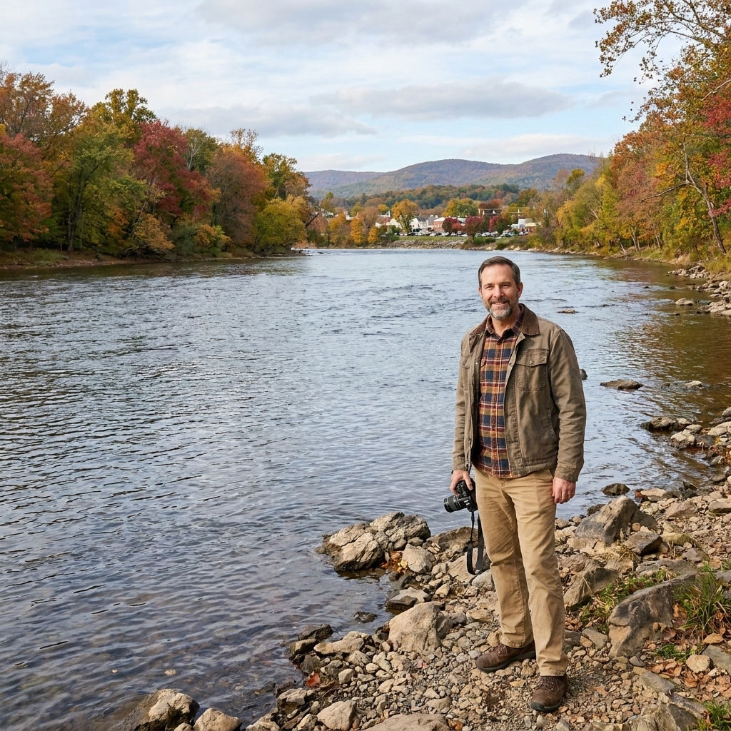
Front Royal is where the campaign’s tempo changes. Jackson hit the outpost and quickly overwhelmed the garrison, scooping up prisoners and useful supplies. Suddenly Union plans in the lower Valley began to unravel. If Kernstown is a lesson in miscalculation, Front Royal is a lesson in speed and surprise.
Where to go
Base yourself near the public riverfront areas and bridge approaches, then read the town’s edges and crossings as terrain, not just scenery. Keep your wandering to sidewalks, public parks, and signed areas.
What to look for
- River crossings and bridges. In the Valley, water is never just decoration. It is delay, barrier, and choke point.
- The corridor effect between the Blue Ridge and Massanutten, where movement feels guided by geography.
Stop 3: First Winchester (May 25, 1862)
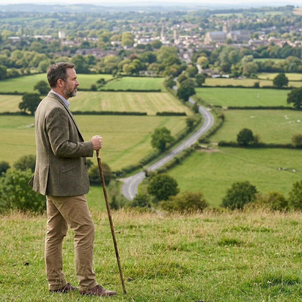
Winchester comes up again and again in Valley history, but in May 1862 it became a prize that mattered as much for morale as for supply. Jackson’s pressure forced a Union retreat, and the Valley’s north end opened like a door that would not stay shut for long.
Where to go
Pick one or two public overlooks on the outskirts where you can safely pull in, then orient yourself to the approaches into town. Winchester has layers, and you do not need to chase them all in one go.
On-site mindset
If you can, find a view where you can see both town approaches and the surrounding heights. Winchester fights are not just about who holds a street corner. They are about who controls the rims of the bowl.
Stop 4: New Market (context stop)
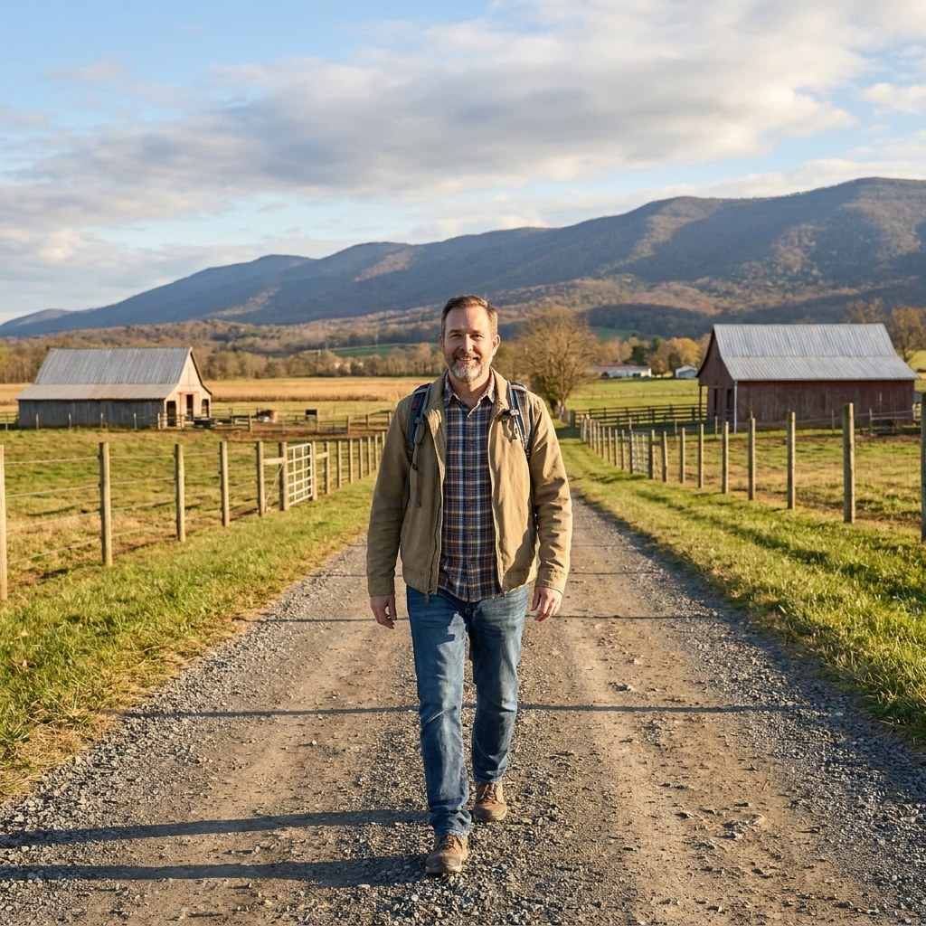
New Market’s most famous battle came in 1864, not 1862, but I still like pausing here because it sits in the Valley’s central spine. It helps you feel the distances Jackson’s men ate up on foot. Put your hands on the steering wheel, look north, then look south, and remember that soldiers marched those miles carrying everything they owned.
Where to go
Use the town as a reset point: fuel, food, and a short leg stretch in a public spot before you press on. The point here is orientation and distance, not a deep tactical walk.
Stop 5: Luray and Massanutten corridor
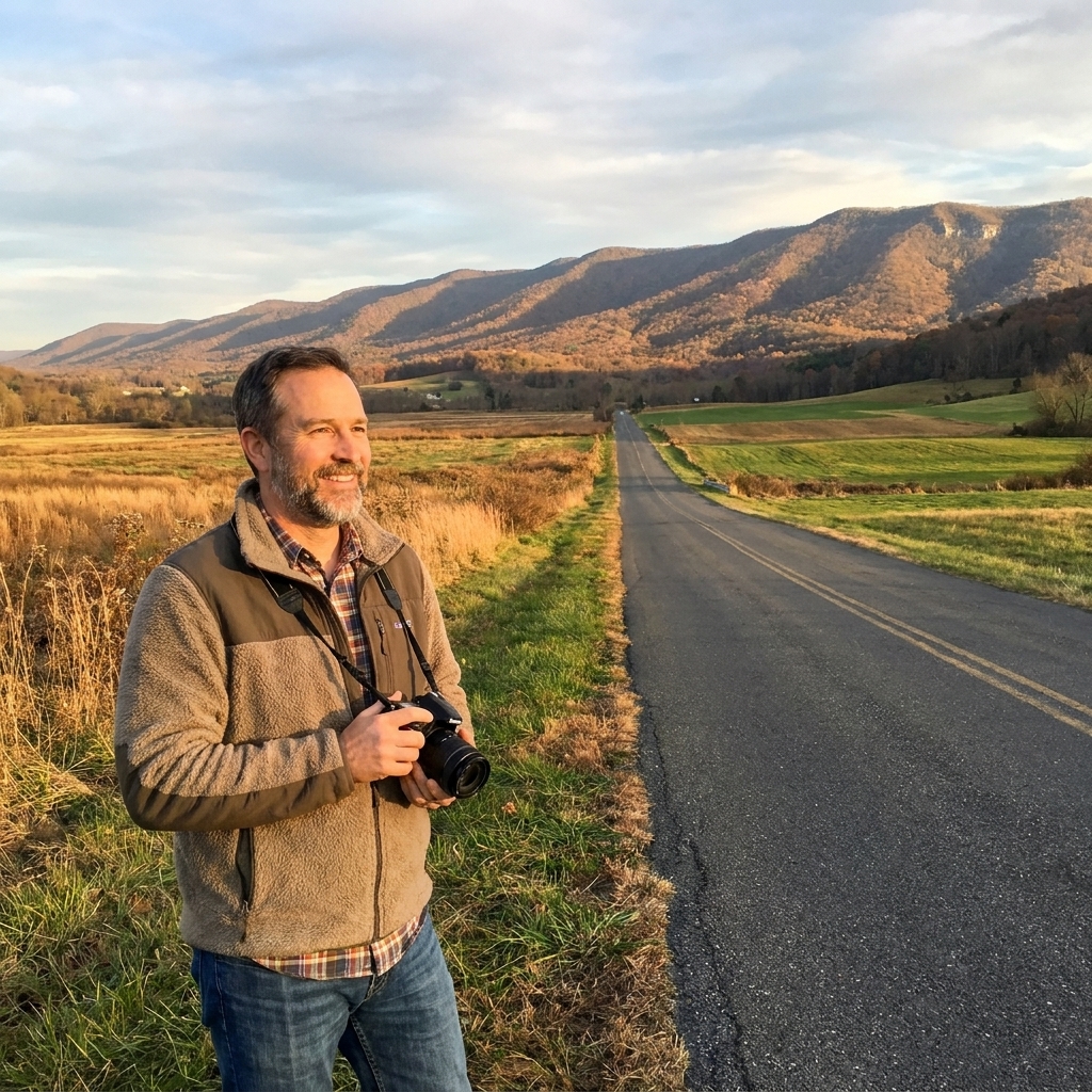
One of the Valley Campaign’s recurring tricks is how Jackson used the landscape to hide movement. The Massanutten range splits the Valley into parallel corridors. That means two armies can be uncomfortably close and still feel like they are hunting in different worlds.
Where to go
Choose a scenic public pull-off or roadside stop where parking is clearly permitted, then do your observing from the shoulder and the safe side of any guardrail. This is a “read the map with your eyes” stop, not a trespass stop.
A good way to experience this
Drive a stretch where Massanutten dominates your view, then deliberately cross to the other side and drive again. The Valley will feel like it has changed its personality. That is the point.
Stop 6: Harrisonburg area (June build-up)
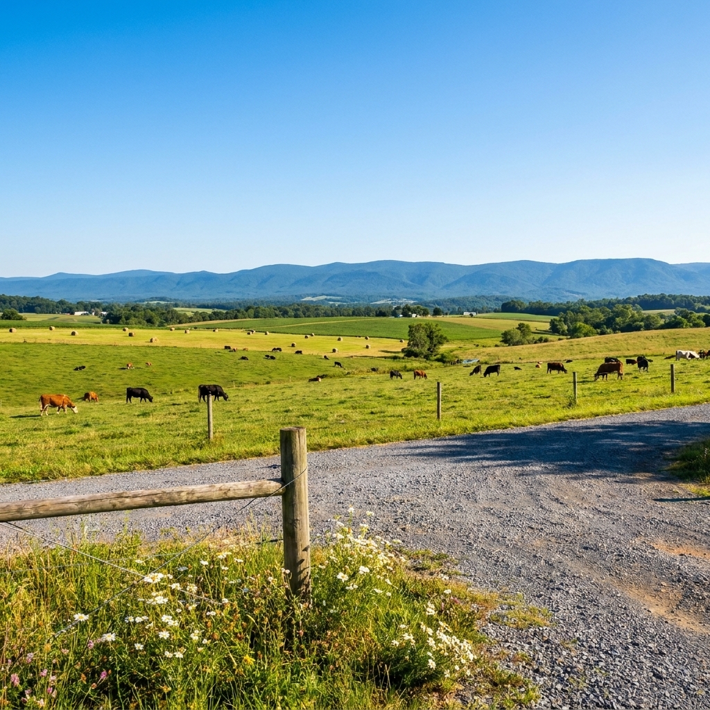
By early June, Jackson was drawing multiple Union commands into a confusing pursuit. If you have ever watched a thunderstorm break apart against mountain ridges, you understand the Valley dynamic. Forces split, rejoin, lose sight of one another, then collide.
This is a good place in the tour to slow down and re-center on the campaign’s big idea: Jackson was not trying to occupy every town permanently. He was trying to keep Union forces off balance and away from Richmond at critical moments.
Where to go
Use public parks and signed historic pull-offs in the greater Harrisonburg area as your base. You are setting up for Cross Keys and Port Republic, so think in terms of road networks and river lines rather than one perfect hillside.
Stop 7: Cross Keys (June 8, 1862)
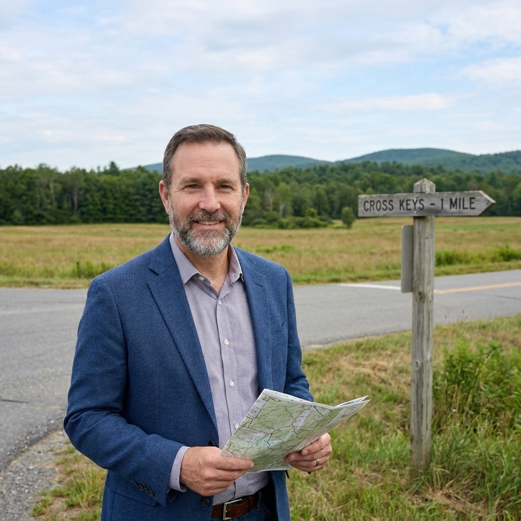
Cross Keys is often paired with Port Republic, and that is how you should experience it. Here, Jackson’s forces, with Ewell playing a key role, checked a Union advance and helped set the conditions for the next day’s fight.
Where to go
Start at any clearly marked battlefield access point or interpretive stop in the Cross Keys area. Park only where it is designated, and treat nearby farm lanes and driveways as private unless signage says otherwise.
What to look for
- Fields broken by woods, the kind of terrain that can hide a line until it is dangerously close.
- Road junctions. Cross Keys reminds you that battles happen where routes intersect, not where a map looks dramatic.
Stop 8: Port Republic (June 9, 1862)
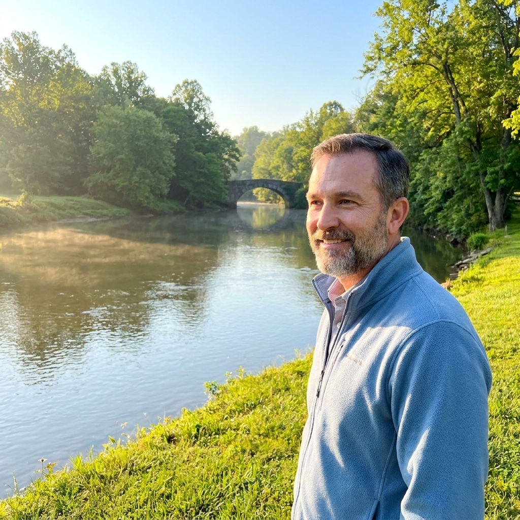
Port Republic is the campaign’s closing punch, the kind of fight that feels compact on paper but sprawling when you stand where decisions were made. Waterways, bridges, and timing all press in at once. There is a sense, even now, that the valley floor gathers everything toward the crossings.
Where to go
Use public river access areas and clearly public roadside pull-offs as your starting points, then build your understanding outward from the water. If you only have time for one thing here, make it the relationship between the roads and the river.
How I like to walk it
Give yourself time to get out of the car more than once. Step down toward the water. Then step back up and look across. You will understand why commanders obsessed over crossings and why a small delay could turn deadly fast.
Optional detours
Harper’s Ferry
If you are coming from the north, a stop near Harper’s Ferry helps frame why the lower Valley mattered so much to both sides. It is a junction of rivers, rails, and borders, and it sits close to the routes that run toward Washington and the old Baltimore and Ohio line. Even when Jackson was not standing there, Valley decisions tugged on that knot.
Staunton
Staunton sits near the Valley’s southern end and helps you understand the campaign’s logistical heartbeat. You can feel how the Valley is both corridor and shelter, depending on which direction you are moving and who is chasing you.
Make it come alive
Read the ground
I am grateful for interpretive signs, but the Valley Campaign rewards you more when you look past them. Watch how fences follow old property lines. Notice where a road climbs gently instead of sharply. Pay attention to where the woods begin, because in 1862 a treeline was a curtain.
Follow the marching reality
When you drive from stop to stop in forty minutes, remember that Jackson’s men did not. If you want a simple gut check, pick one stretch and walk a half mile along a quiet public road or trail. That is enough to make the campaign’s famous speed feel less like legend and more like exhausted legs.
Bring kids or first-timers
If you are traveling with younger visitors, a Valley Campaign tour can work well because the landscape itself tells the story. Keep stops short, give them one question per site, and let them be the one to spot the “best hill” or “most important road.” We have more ideas here: How to keep kids engaged on a Civil War battlefield trip.
Fit it into a bigger trip
The Shenandoah is a natural connector if you are building a Virginia itinerary. If you are stitching together multiple battlefields, take a look at our existing route for ideas on pacing and lodging rhythms: 3-day Virginia Civil War battlefield road trip.
And if Jackson’s leadership style has you thinking about the men on horseback who screened, scouted, and turned raids into legend, you might enjoy: Top 5 cavalry generals and where to see their key actions.
Quick FAQ
Do I need to be a Jackson expert?
No. If you can keep north, south, and “the mountains make it complicated” straight in your head, the Valley will do the rest.
How long should I budget?
One day for a highlights run. Two days if you want unhurried stops, short walks, and time to think between sites.
What is the best “feel it” moment?
Any overlook where you can see a valley road running straight for miles with mountains hemming it in on both sides. That is the campaign in one glance: speed inside a corridor, with danger on the ridges.
A final thought
The Valley Campaign gets described with big words: brilliant, audacious, bewildering. Those words are not wrong. But the Valley itself keeps it honest. Stand in a field near dusk, listen to the wind move through the trees, and you can almost feel why armies chased one another so hard here. Roads vanish into folds of land. Ridges block certainty. And somewhere in that shifting geography, Jackson made a kind of war that was as much about what the enemy thought he saw as what was actually there.
If you want to read more about commanders and campaigns in plain language, you can browse our starting points at Guide to Civil War generals and Guide to Civil War battles.