
Walking Pickett’s Charge at Gettysburg

Silas Weaver
Silas Weaver has spent decades exploring historic battlefields, reading primary journals, and tracking down the lesser-known stories of the American Civil War. His lifelong passion for 19th-century history comes through in his engaging accounts of the places, people, and lingering questions of the era. He believes that walking the actual grounds where history happened is the best way to truly connect with the past.
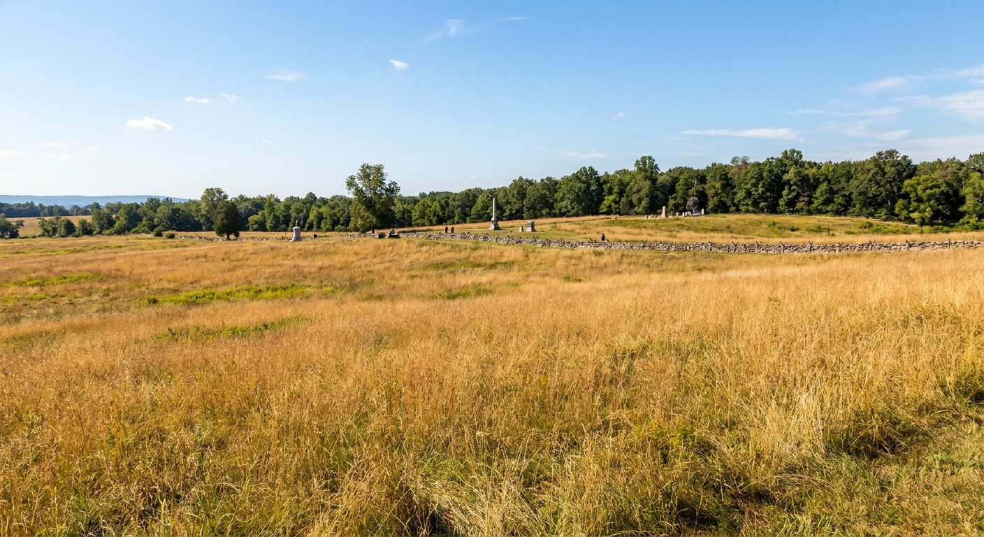
I grew up close enough to Gettysburg that the battlefield felt like a second hometown. Even now, after decades of wandering war grounds from Virginia to the Deep South, there is one walk that still tightens the throat a little every time I do it: the long, exposed approach of Pickett’s Charge.
This is not a hike in the ordinary sense. It is a measured, deliberate crossing of space that was once filled with smoke, shouting, and the hard arithmetic of rifled muskets and artillery. The landscape is gentler now. The distance is not.
Below is the way I walk it when I want to understand it with my feet and my eyes. I will give you the landmarks that matter, the approximate distances you can feel, and the historical context that makes each step heavier.
Before you step off
Time, weather, and mindset
- Plan 30 to 45 minutes one way if you keep moving with a few stops for waysides and views.
- Plan 60 to 90 minutes if you want the full out-and-back at an unhurried pace.
- Go early or late if you can. Midday crowds collect around the High Water Mark and the Angle.
- Bring water and sun protection. The entire point of this route is exposure. In July, it still bakes.
- Wear shoes you trust on uneven ground. You will cross grass, dirt, and paved paths.
How far is it, really?
If you walk from the Confederate line area on Seminary Ridge to the stone wall at the Angle on Cemetery Ridge, you are looking at roughly three quarters of a mile to about a mile one way, depending on where you begin and where you choose to end. Estimates vary because the assault front was wide and the lines shifted. The important thing for a visitor is this: it is farther than it looks, and you will feel that by the time you are halfway across.
Two ways to do the walk
- Out-and-back on foot: Start on Seminary Ridge, walk to the Angle, then return the same way. If you want to feel the distance twice, this is the honest method.
- True one-way: Use two vehicles, or travel with a second driver so you can park at both ends and cross once. This frees up time to linger at each end without doubling the mileage.
Parking note: Spaces near the Angle and the Copse of Trees area can fill quickly in peak season. If the lots are tight, begin on Seminary Ridge, get your crossing in, and be patient about where you end up parking on the return.
If you are planning a full day at Gettysburg, my general approach to pacing and stops is laid out in Plan a Civil War Battlefield Day.
Quick context
On July 3, 1863, after a large artillery bombardment that preceded the assault, about 12,500 Confederates advanced across open ground toward the Union center on Cemetery Ridge. The assault is commonly called “Pickett’s Charge,” but George Pickett’s Virginians were only part of it. Major elements of the attack also involved divisions under James Johnston Pettigrew and Isaac Trimble.
The Union line ahead of you was anchored by infantry behind stone walls and supported by artillery on the ridge. As you walk, keep one fact at the front of your mind: in 1863 the men crossing this field did so under fire for a long time, with little cover, while trying to maintain alignment.
Step 1: Seminary Ridge
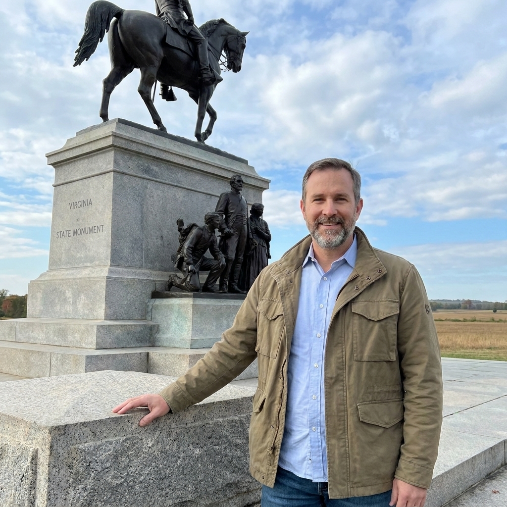
Most visitors begin near the Virginia Memorial on West Confederate Avenue. It is not the only starting point, but it is a practical one because it sits near portions of Pickett’s division line of departure and gives you a clear, commanding look across the ground.
Before you walk, do what soldiers did instinctively. Pick a point on the far ridge and keep staring at it. The Angle is not a single obvious “target” from here the first time you look. Your eyes may slide to the clump of trees ahead on Cemetery Ridge. That is a useful visual guide for the center of the assault. If you keep your gaze steady for a full minute, you start to notice the subtle rise of the land and how the field is not perfectly flat.
What happened here: Assault troops aligned along Seminary Ridge and used the slight reverse slope behind it for what cover it could provide. Union observers could see some preparation, but many formations were at least partially screened until they stepped out and began to advance.
Step 2: To Emmitsburg Road
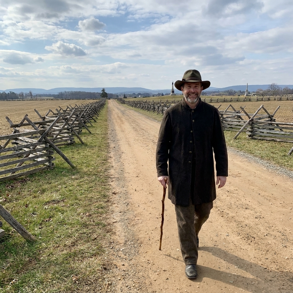
Start eastward from Seminary Ridge into the open. Within a few minutes, the ridge behind you falls away and the feeling changes. Even with cars and tour buses in the modern background, you will sense how quickly you become small out here.
Your first major landmark is the Emmitsburg Road, which cuts across the field. The road matters because it could disrupt momentum. In places, fences and the roadway itself often forced units to slow, bunch up, climb, and then re-form while under fire.
- Distance cue: From the Confederate line area to the Emmitsburg Road is roughly about a third to half of the crossing, depending on where you begin.
- What to notice: The ground rolls gently. Those little swells matter because they hide and reveal bodies, flags, and movement in waves.
Safety note: Treat the Emmitsburg Road like any active road. Use crosswalks or clear gaps, keep kids close, and do not assume drivers are looking for pedestrians.
Field tip: When you reach the road, stop and look back toward Seminary Ridge. It helps you understand how quickly a supporting line, or a wounded man trying to retreat, would be swallowed by distance.
Step 3: Keep your line
From the Emmitsburg Road, most people keep their eyes fixed on the clump of trees and the stone wall beyond. Do that, but also pay attention to the direction of your own feet.
The assault was not a neat, straight march to a single dot. Brigades drifted, dressed on colors, avoided obstacles, and tried to maintain lateral contact. As casualties mounted, gaps opened and units bled into one another. Walking this ground today, you can mimic that tension by doing something simple: every hundred yards or so, glance left and right and imagine trying to keep a line connected while the middle of that line is being clipped away.
To keep the poetry honest, I sometimes add one plain, physical fact here. A Civil War infantryman might carry something like forty to sixty pounds between weapon, ammunition, canteen, blanket roll, and odds and ends. Now put that on your shoulders in July heat and ask yourself how steady your pace would stay.
Step 4: Cemetery Ridge

As you near Cemetery Ridge, the rise becomes more obvious. This is where visitors sometimes get a sudden realization that the last stretch is the hardest. It is not a mountain, but under fire it would have felt like a wall you had to climb with your lungs burning.
What happened here: Union infantry and artillery used the ridge to advantage. Defensive fire grows more punishing as attackers compress toward gaps, angles, and any place that looks like it might give way.
Keep an eye out for the stone wall that runs along parts of the ridge. The wall is more than scenery. It is a ready-made fighting position and a psychological line. Crossing it means you are no longer “advancing.” You are inside the enemy’s space.
Step 5: Copse and High Water Mark
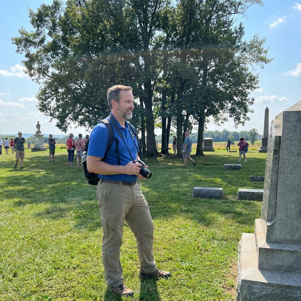
The Copse of Trees is the most famous aiming point on this field, and for good reason. It is visible from far away, and it marks the general area where parts of the Confederate assault struck hardest.
Nearby, you will encounter the ground often referred to as the High Water Mark of the Confederacy, associated with the moment when the assault briefly breached the Union line before being pushed back. Whether you treat the phrase as poetry or as shorthand, the location is worth a quiet pause.
- What to do here: Put one hand on the stone and look back the way you came. Do not rush this. Let your eyes follow the entire corridor of open ground back to Seminary Ridge.
- What to notice: You can now see how the field offers almost nowhere to disappear. A man hit out there was hit in public, under observation, with very little concealment.
Step 6: The Angle
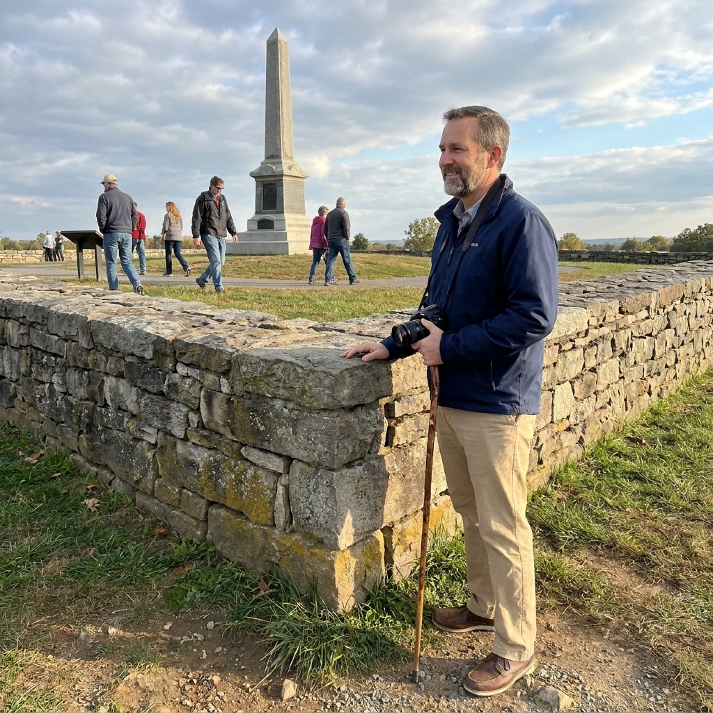
The Angle is a bend in the stone wall that created a tactical focus and a swirling, close-range fight. This is where the battlefield can feel crowded today, but it is still possible to find a sliver of space to think.
What happened here: Units collided at close quarters across and over the wall. Command and control dissolved into small knots of men trying to hold, push, or survive. If the open field is about distance and exposure, the Angle is about compression.
When I bring first-timers here, I ask them to do one thing: stand at the wall and picture the sound. Not the Hollywood sound. The continuous tearing of musketry, shouted commands that cannot carry, the thump of impacts in stone and flesh, and the sudden absence of a friend who was beside you five steps ago.
Step 7: Walk back
Many people finish at the Angle and stop. If you have the energy, walk back the way you came. The return trip does something valuable. On the way out, the field feels like an objective. On the way back, it feels like an exit that keeps stretching.
A small exercise: On the return, stop once between the stone wall and the Emmitsburg Road and stand still for thirty seconds. Watch how many visitors cross your field of view. Now imagine that every moving figure is a target, and every pause invites more fire. It is a brutal way to understand why momentum mattered and why losing it could be fatal.
Landmarks list
- Seminary Ridge starting area (often near the Virginia Memorial)
- Open fields west of the Emmitsburg Road
- Emmitsburg Road crossing and fence line context
- Open fields east of the road with the Union ridge looming larger
- Stone wall sections along Cemetery Ridge
- Copse of Trees vicinity
- High Water Mark area
- The Angle (bend in the wall)
Practical notes
Stay on paths
Gettysburg is both a park and a cemetery landscape in the broadest sense. Stick to established walkways and mowed areas, follow posted rules, and do not climb on monuments or walls.
Bring kids
If you are walking with children, keep the focus on the human scale: the distance, the heat, the weight of gear, the thirst. I have a handful of strategies that help keep young minds engaged without turning the field into a playground in How to Keep Kids Engaged on a Civil War Battlefield Trip.
Accessibility and pacing
Parts of this area are accessible, but the full experiential crossing is uneven and can be tiring in summer heat. If you need options that prioritize smoother grades and shorter distances, start with Wheelchair Accessible Civil War Battlefields and Trails and adapt the Pickett’s Charge visit into a series of shorter viewpoint stops rather than one continuous walk.
Common questions
Is the clump of trees the exact target?
It is a strong visual reference and a traditional focal point, but the assault was broad and the fighting surged along a front. Use the Copse as your guide for the center, then pay attention to the wall and the ground around the Angle to understand where the attack culminated.
Why cross open ground?
The Union position on Cemetery Ridge was strong. The Confederate army needed to dislodge it to win decisively on Northern soil. The terrain between ridges offered limited cover and forced the assault into a long, exposed approach.
What should I read next?
To get inside the soldier’s mind, primary writings help. I often point readers to the broader skill of interpreting wartime correspondence in Decoding Civil War Soldier Letters. The letters will not give you a perfect map, but they will give you the grain of fear, pride, and exhaustion that no monument can fully hold.
If you remember one thing
Pickett’s Charge is easy to summarize in a sentence and hard to understand without the walk. When you cross that field, you are not reenacting heroics. You are measuring the cost of distance in a place where distance became destiny.
If Gettysburg is your first major battlefield, you might also like my thoughts on how it compares to another essential stop in Gettysburg vs Antietam: Which Battlefield to Visit First?.